Discover New Fishing Opportunities with Blue Lining
Avoid the well-worn trails and find your new favorite secret spot.


What Is Blue Lining?
Blue lining is a way to find near and far fishing opportunities, by exploring the winding blue lines on a map. It's like being a kid again, turning over rocks to see what you might find. With blue lining, every bend in the river is a chance to uncover your own "secret spot" and reignite the joy of exploration that made you fall in love with fishing in the first place.
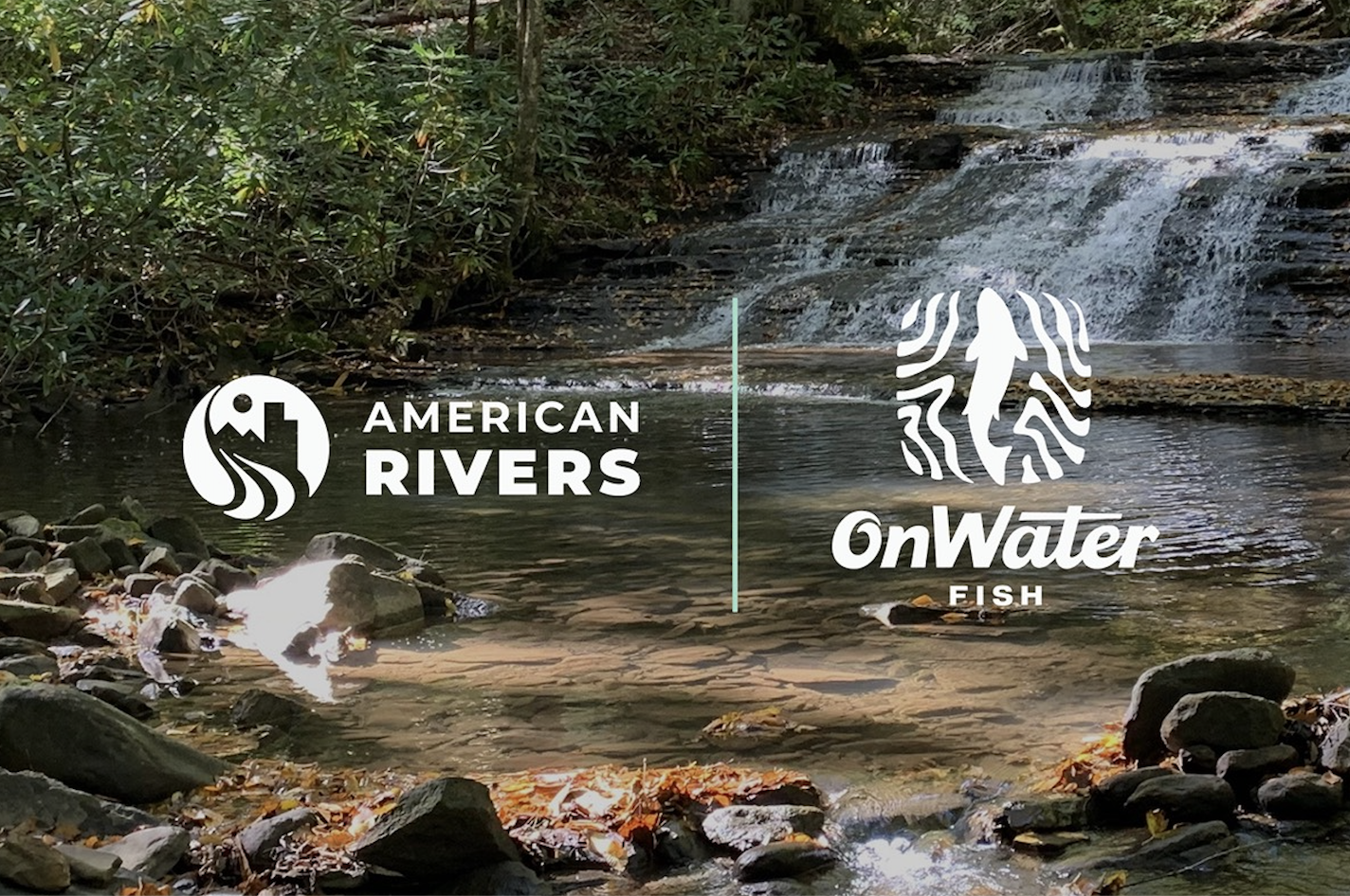
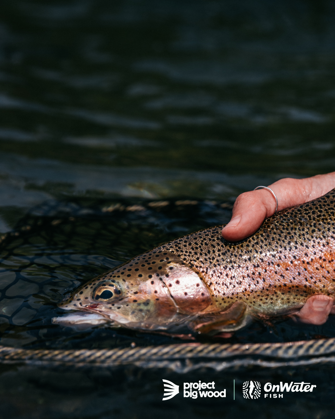
Our partners in making blue lining more accessible.
How To Blue Line
Learn how to find your own secret fishing spots and explore new waters with features made for blue lining.


Step 1
Choose your base map. Dark (best for finding blue lines), Topo, or Satellite

Step 2
In Map Layers, turn on rivers, private/public lands, and access points.

Step 3
Explore the map. Tap on blue lines to find names and learn more.

Step 4
Tap the regulations tab to find regulations.

Step 5
Download an Offline Map of the river or region.
Step 6
Identify existing access, or drop a waypoint to make your own. Tap access or waypoint to get directions and go fishing.

Add Layers To Your Blue Lines
Enhance your blue lining experience with detailed map layers
Species Abundance Layer
Blue lining isn't just for trout. Our fish species map layer helps you discover new fishing spots by identifying known habitats of over 100 fish species, from panfish, smallmouth bass, and more. Just select your target species, and search for the blue lines under high abundance areas.


Public + Private Property Map Layer
Use our property map layers to plan your fishing trips around legal access points, fish responsibly, and avoid uncomfortable conversations with landowners.
Personal Waypoints
When you stumble upon that perfect, small fishing hole while blue lining, you can easily save your favorite spots.


Where the River Meets Your Reel
Create your own custom engraved Abel reel using the onWater Fish app.
Together with Able, onWater Fish puts Blue Lining in your hand. With the purchase of a custom engraved reel you have unlocked a free 1 year subscription to onWater Fish.
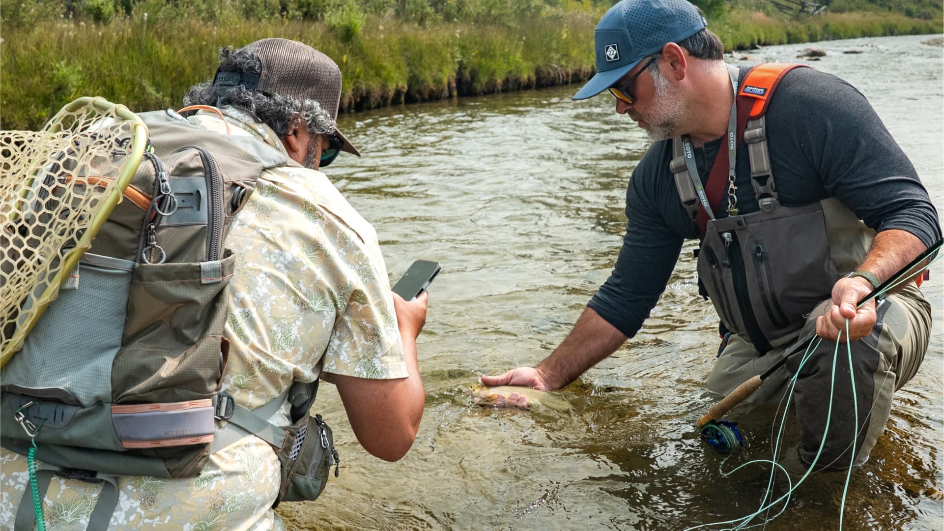
Following The Blue Line
Read about how blue lining changed their fishing experience.